Map to parchment treasure chart
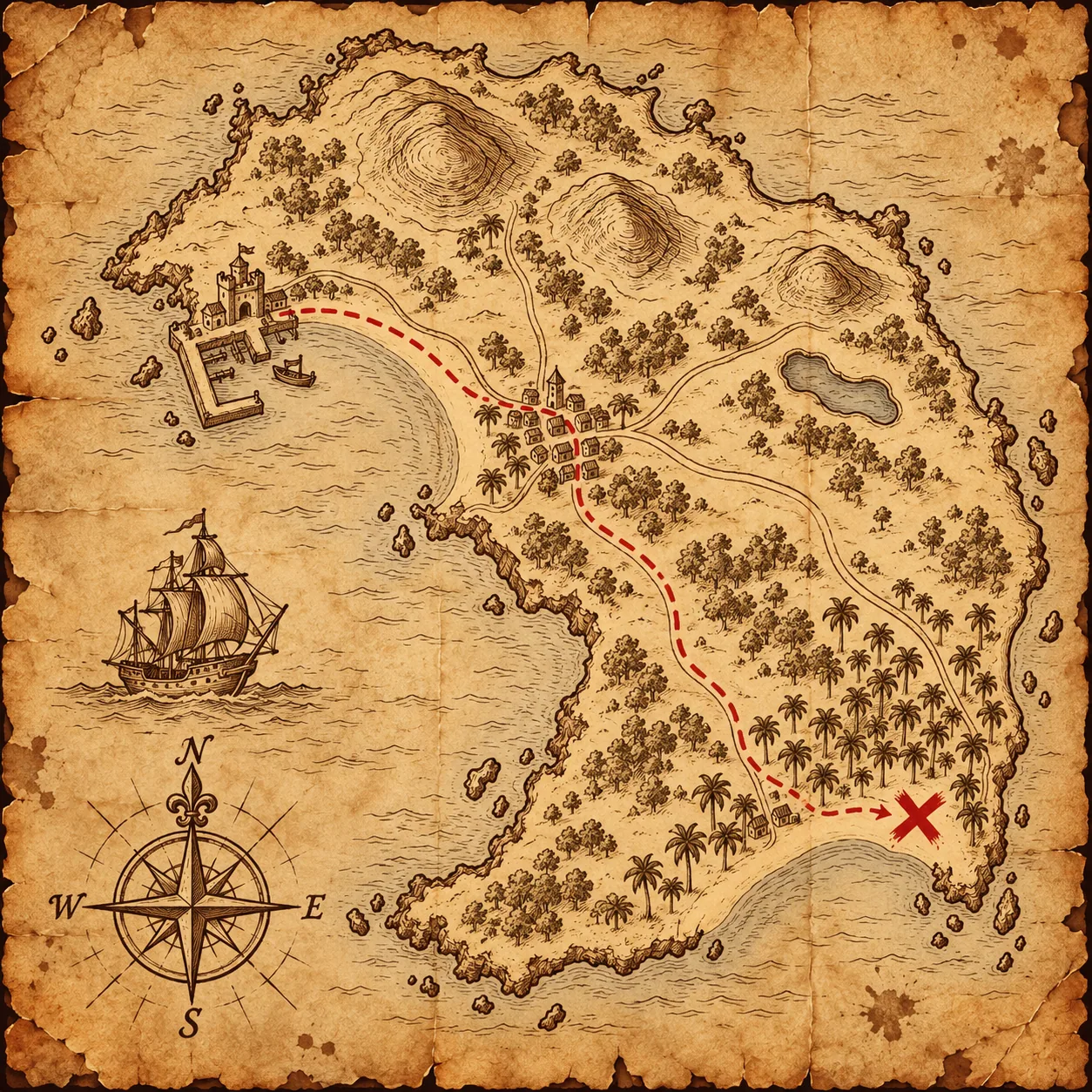
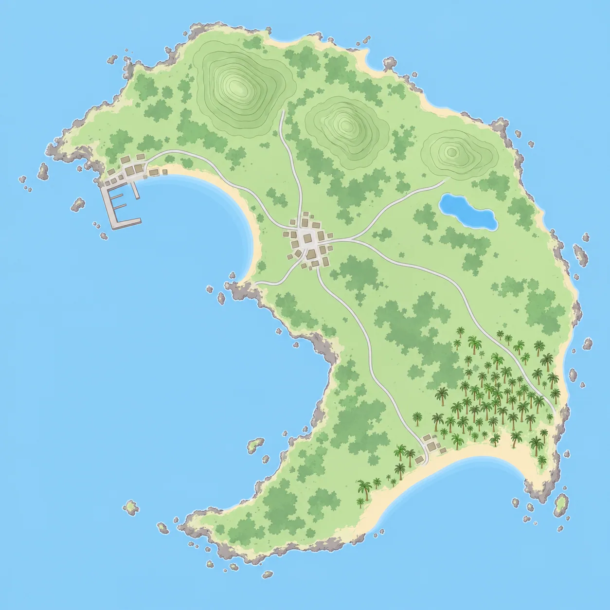
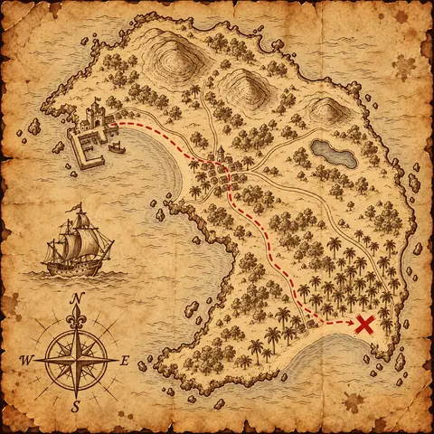
The crescent coastline, west harbor, three northern hills, central town and eastern pond are retained; a dashed route leads to the southeast X.
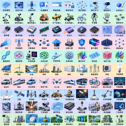
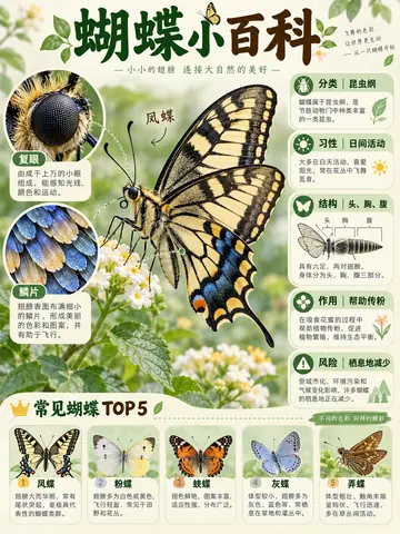
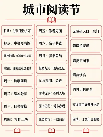
Upload the reference images in the listed order. The example uses synthetic input images.
Reference images
How to use
Copy the exact prompt used for this image. Changing the subject creates a new, untested variant. Upload the ordered synthetic reference images shown in the run before generating.
Observed result
The crescent coastline, west harbor, three northern hills, central town and eastern pond are retained; a dashed route leads to the southeast X.
Source
Independently adapted from the supplied design prompt collection, case 28. Source. GPT Image returned no precise version identifier.
Test prints
0176-A
- Model
- GPT Image 2.5
- Recorded
- Oct 30, 2026
- Provider
- OpenAI
What we saw: The crescent coastline, west harbor, three northern hills, central town and eastern pond are retained; a dashed route leads to the southeast X.
Source and licence
- Prompt
- By Prompt Seen; independent adaptation of supplied case 28Licence: CC BY 4.0
- Image
- Creator: Prompt SeenLicence: CC BY 4.0Generated image